Where we’ve been
Every year, the LGIS Board of Directors head out to one of our regional members, to see firsthand the excellent services and facilities local governments provide to their communities.

Inland waterways pose the greatest drowning risk and include:
The Royal Lifesaving National Drowning report states that last financial year 248 people drowned in Australian waterways – 33 of which were in Western Australia. The report identified that:
People are more likely to drown in inland waterways than in pools
51 people drowned in rivers and creeks – and 78 per cent of those deaths were men
Men aged 25 to 64 are the most likely to drown
These fatalities were usually local to the area, and were either swimming or boating before they drowned
People are also more likely to drown in regional or remote locations
Most inland drowning deaths occurred in the summer months, on public holidays, school holidays, and on Sundays
Every year, the LGIS Board of Directors head out to one of our regional members, to see firsthand the excellent services and facilities local governments provide to their communities.
Installing the wrong furniture in the workplace can be a real pain the neck – or even the back or the shoulders.
The past year has thrown up many challenges, at home and internationally. Extreme weather events, bushfires, a global pandemic, just to name a few.
Rivers and creeks continue to be the location with the largest number of drowning deaths, accounting for 21% of all deaths. Swimming pools recorded a 28% decrease compared with the 10-year average, while lakes and dams recorded a 19% increase.

Shallow water poses a risk as swimmers can dive into shallow water and impact with the floor (particularly if there isn’t adequate signage, or alcohol or drugs are involved). People can also be tempted to jump or dive into water from trees/ other structures, and times of poor visibility can give little indication of water depth.

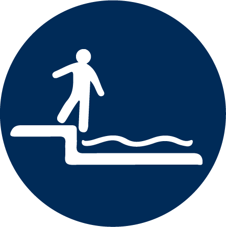
Can lead to unexpected falls or prevent swimmers from getting out of the water

Swimmers can be pulled into deep water, dragged under the water, or become snagged on an obstacle.
Can change how quickly rivers flow, increase water depth, and can dislodge submerged objects.
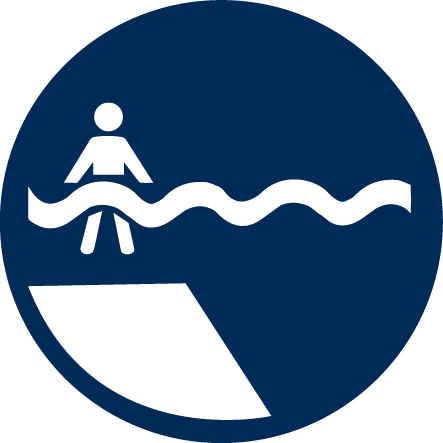
Weak swimmers are unable to support themselves in deeper water and tire quickly. There could also be a steep drop in depth of water, making it difficult for the swimmer to get out of the water or regain their footing.
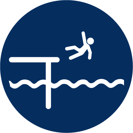
People can fall into deep water (or shallow water and hit the bottom) from pathways or jetties, or they can make it difficult for swimmers to exit the water.

Swimmer becomes snagged on an obstacle, or could impact with an obstacle when diving.
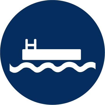
Swimmers may dive from the pontoon and hit the bottom or get into difficulty swimming to the pontoon. There is often no signage around pontoons.

Contaminated water can have negative health impacts, while murky water can hide the depth, and impede search and rescue efforts.
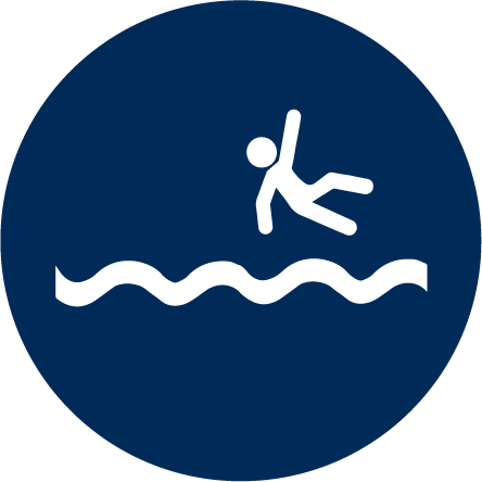
Children can wander off and fall into the water.
When swimming is allowed at an inland waterway, local government should ensure swimmers can exit the water safely. This may mean steps, ramps or gradual inclines.
If the local government is discouraging swimming, signs should be visible. The physical area can also be modified to restrict access for swimmers using densely planted vegetation, boulders, fencing or walls.
Signs should indicate:
Bridges, boardwalks and jetties should be designed with edges that prevent pedestrians from tripping or falling into the water.
Playgrounds and barbeque areas ideally should be more than 30 meters from the water. If they are within this distance then fencing should be used to prevent children from accessing the water.
Housing should also be an appropriate distance from waterways.
Local governments are encouraged to have risk assessments done on inland waterways, especially when:
The local government has made improvements to the inland waterway or immediate surroundings
The local government has introduced access roads/paths leading to the inland waterway
The local government has promoted the waterway (or immediate surroundings) as a place for public recreation
The local government had observed increased visitations to the waterway or changes to behaviour patterns
LGIS has industry leading expertise in the identification and management of the many risks associated with waterways. We are uniquely placed to be able to provide solutions that meet your complex requirements.

Many WA local governments have waterways within their area, and must work together with other entities – such as the Department of Water, landowners, and state government agencies – to keep these waterways, and the people who visit them, safe.

When hiring a new staff member it is important to ensure they are able to perform the inherent
requirements of the role and have the required skills, qualifications (applicable to the level of the role) and knowledge to perform the role they are employed to do.

Psychological injury claims are expected to increase in 2021 with the ongoing stress of living through a pandemic.
LGIS is the unifying name for the dedicated suite of risk financing and management services for WA local governments, established by the WA Local Government Association in conjunction with JLT Public Sector (part of the Marsh group of companies). LGIS is managed by JLT Public Sector (ABN 69 009 098 864 AFS Licence 226827).
Risk Matters, via this website, is designed to keep members, their staff and elected members informed on topical risk management and insurance issues and LGIS programs and services.